I knew I wanted to hike Mt Kinabalu. At 4,095m, the mountain is the highest in South East Asia, it is a hike that is completed in one of the shortest time-frames (2 days hiking).
With a work laptop in tow, I flew from Kuala Lumpur to Kota Kinabalu and checked into The Atelier Hotel. It was approximately a 2 hour transfer from Kota Kinabalu to Kundasang where I spent the evening at Hill Lodge at Kinabalu Park. My trip was booked through Amazingborneo.com.
Day 1 Kota Kinabalu Park to Panalaban Rest Camp (1,866m > 3,272m)
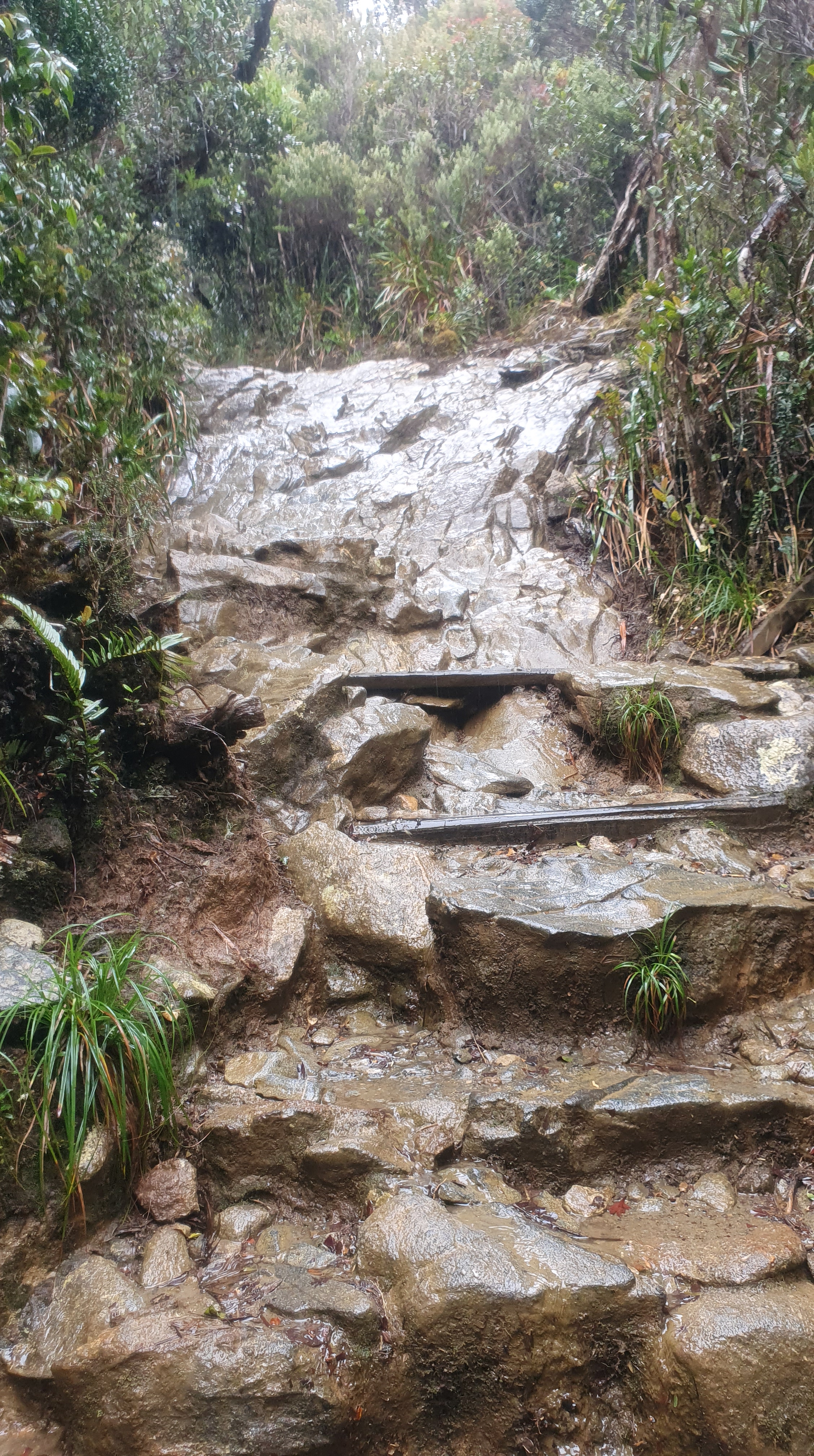
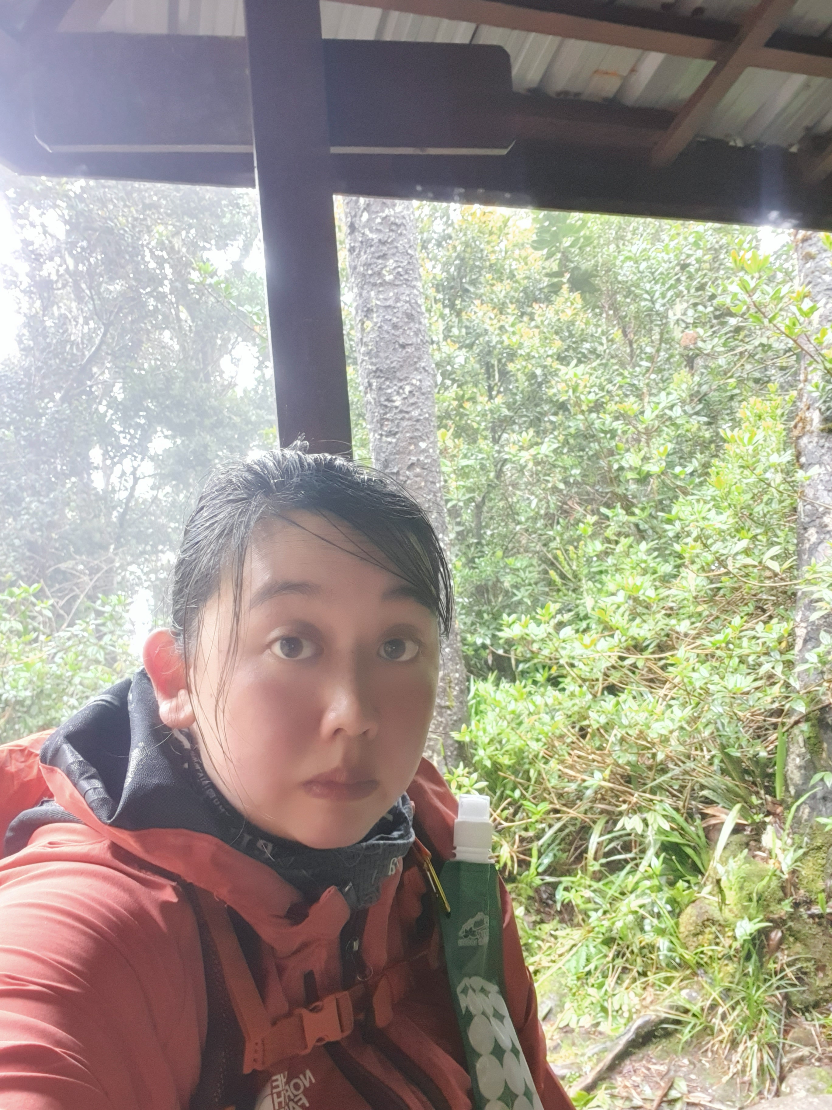
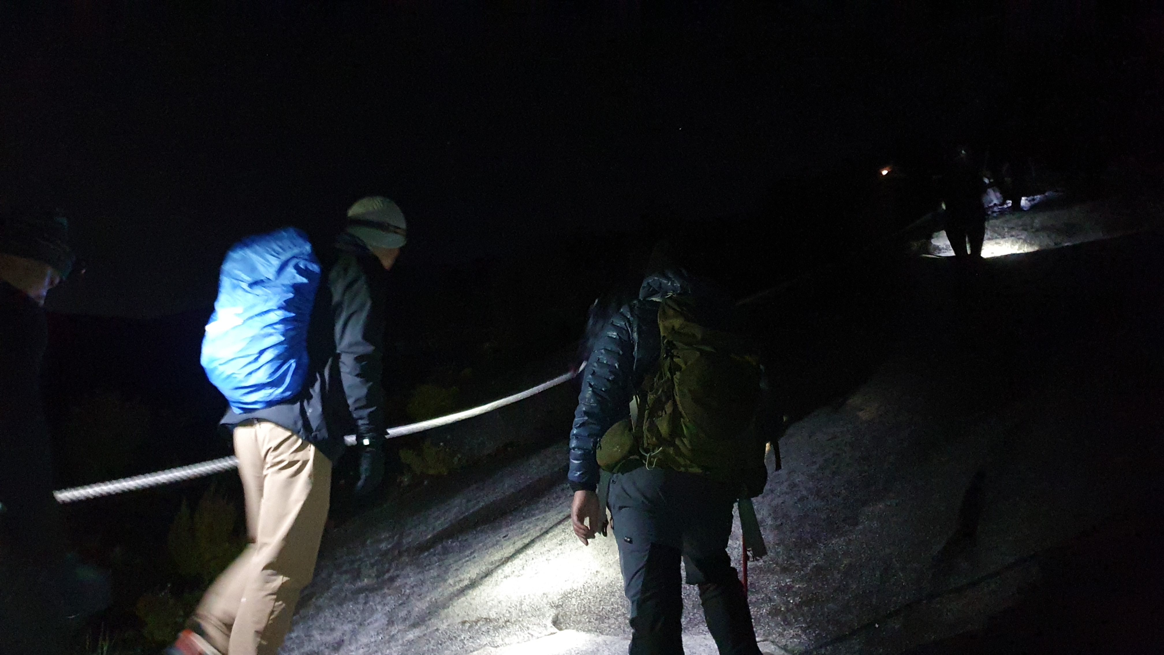
After checking in with my passport at Kota Kinabalu Park, I was presented with a hiking ID pass, we took a short transfer to Timpohon Gate and began the 5 – 6hr hike to Panalaban Rest Camp. I found the ascent to be gradual but relentless. As I started the hike, the rain began as a gentle mist, barely noticeable through the thick canopy above, but within minutes it turned into a relentless downpour. The trail, once firm beneath each step, became a slick ribbon of mud and water trails. My jacket started sticking clung uncomfortably to the skin, heavy and cold, while boots and socks squelched with each stride.

There was a gap in the rainfall where all the hikers stopped at wooden shelters dotted on the trail. As it was cold and wet, rest stops were brief until lunch-time. Hill Lodge at Kinabalu Park arranged a lovely lunch spread with soft boiled eggs, vegetables, chicken and fried rice. A little squirrel hung around the lunch shelters, taking scraps of food left by the hikers.
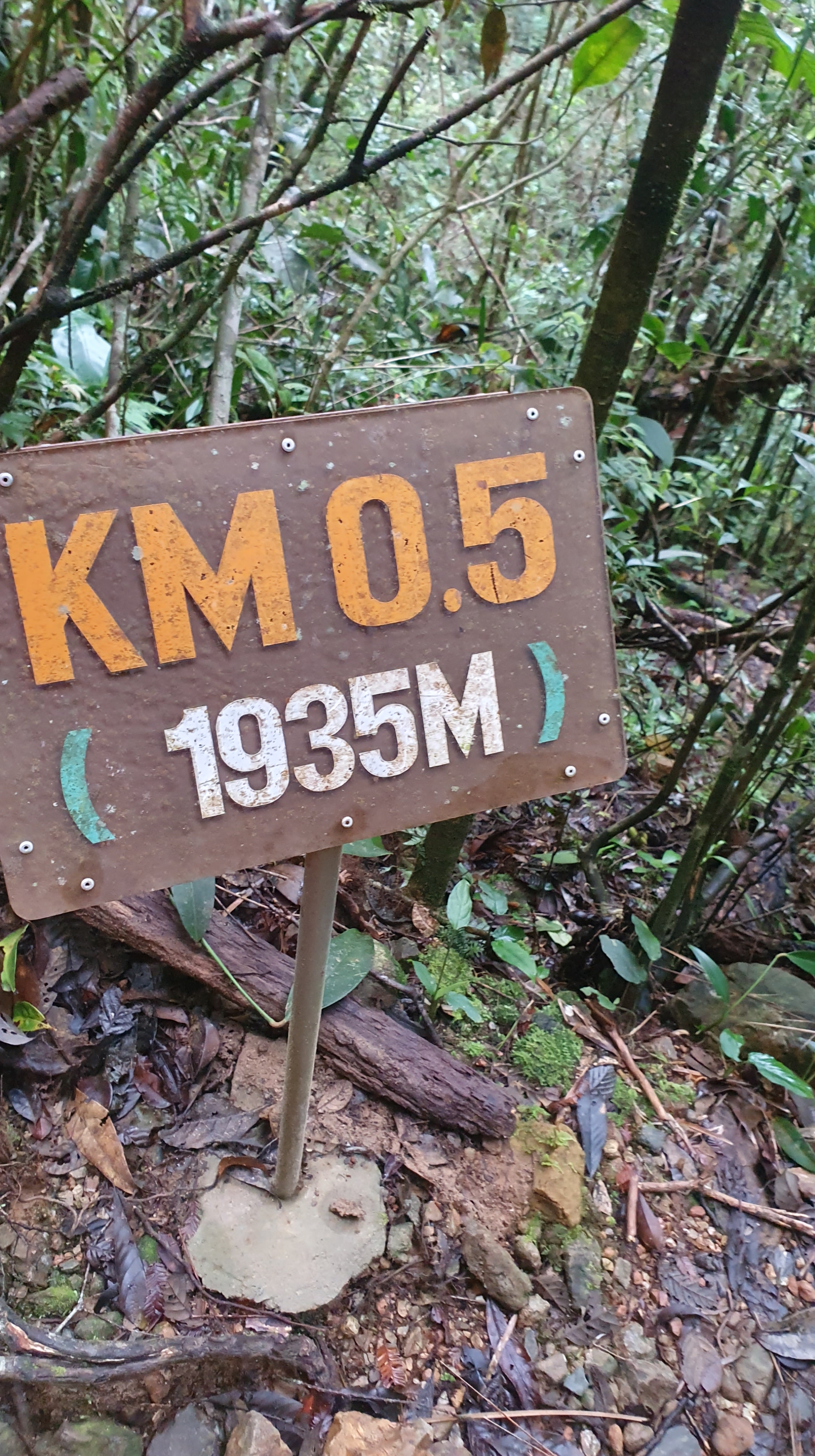
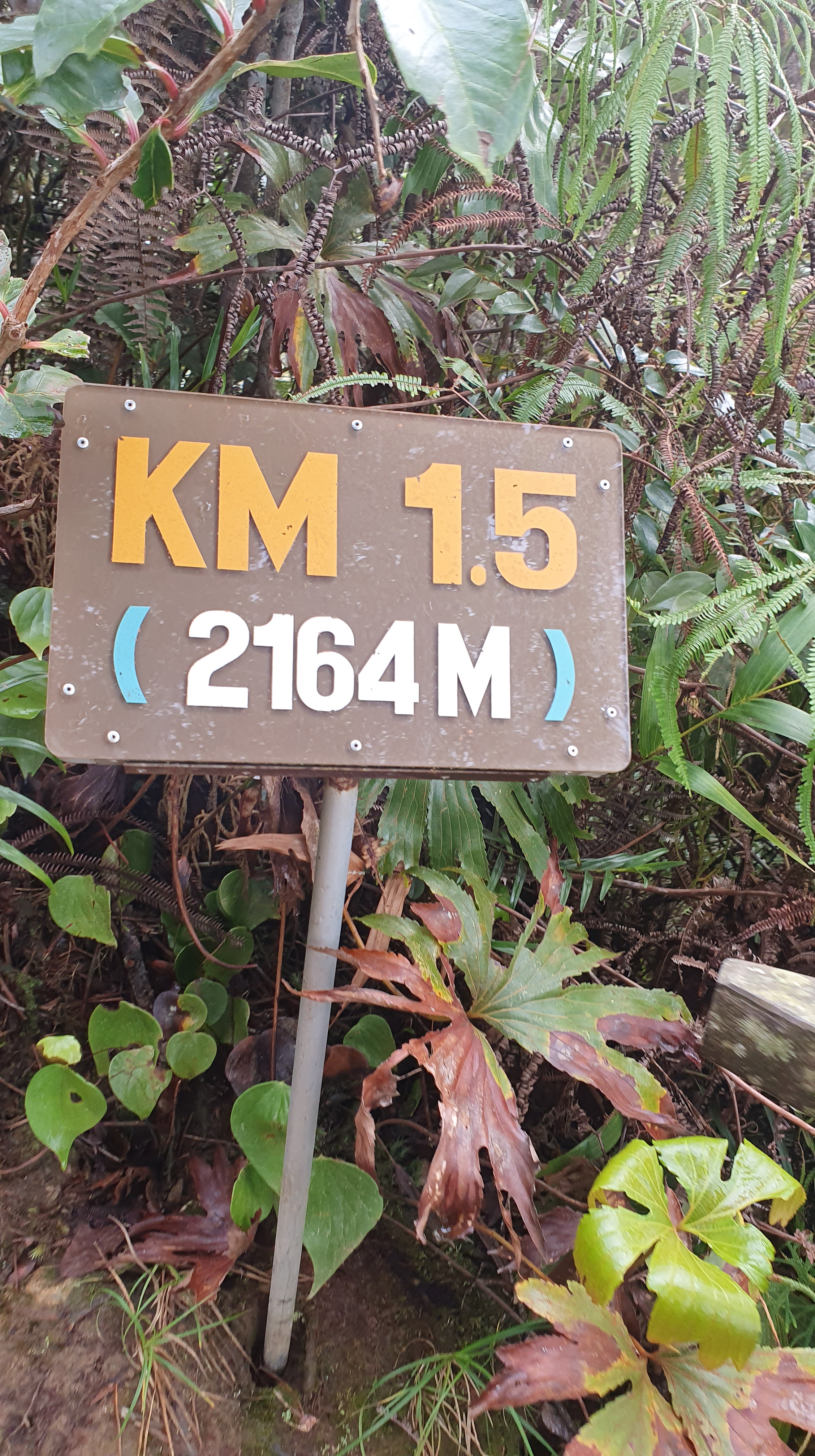
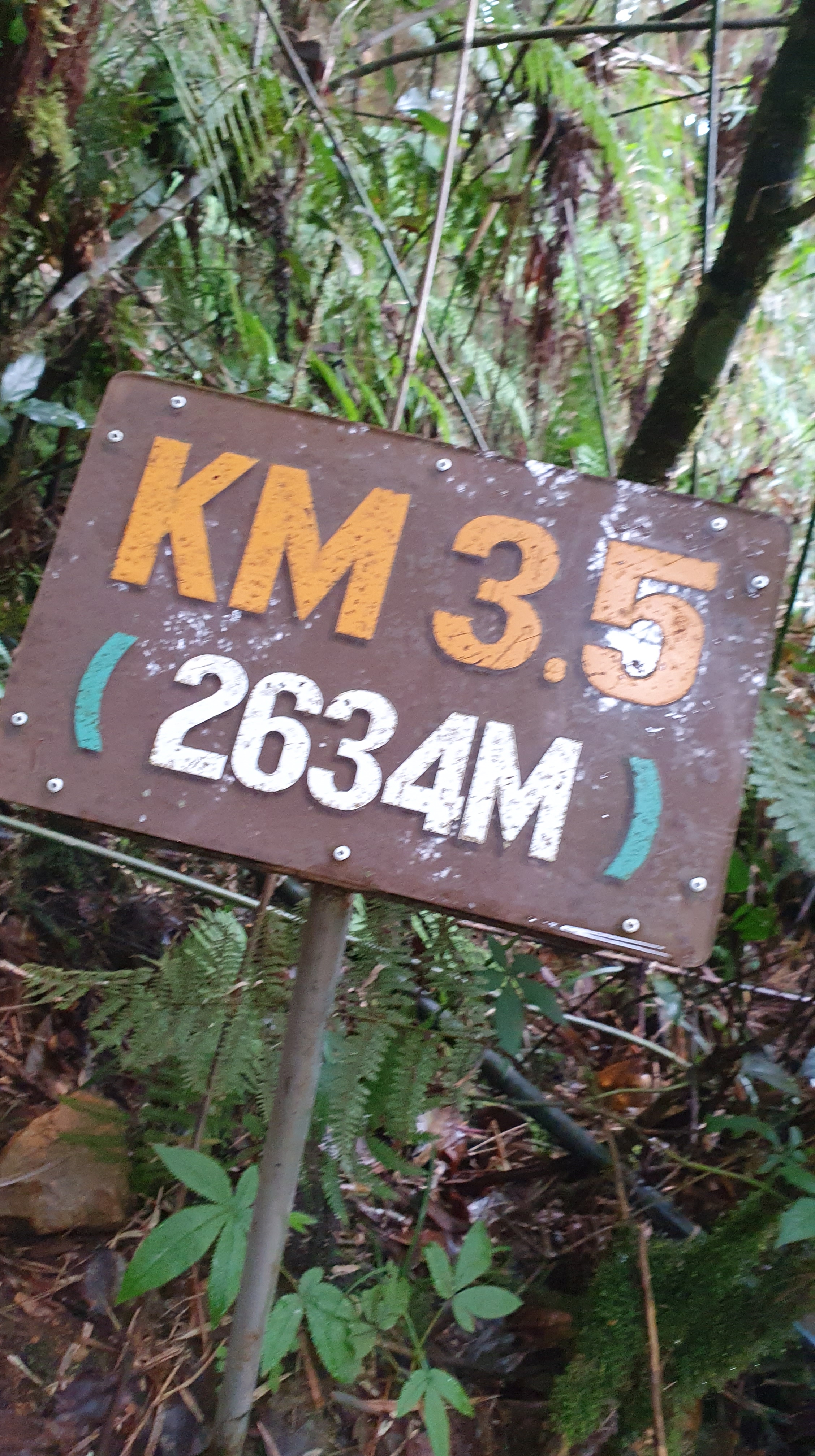
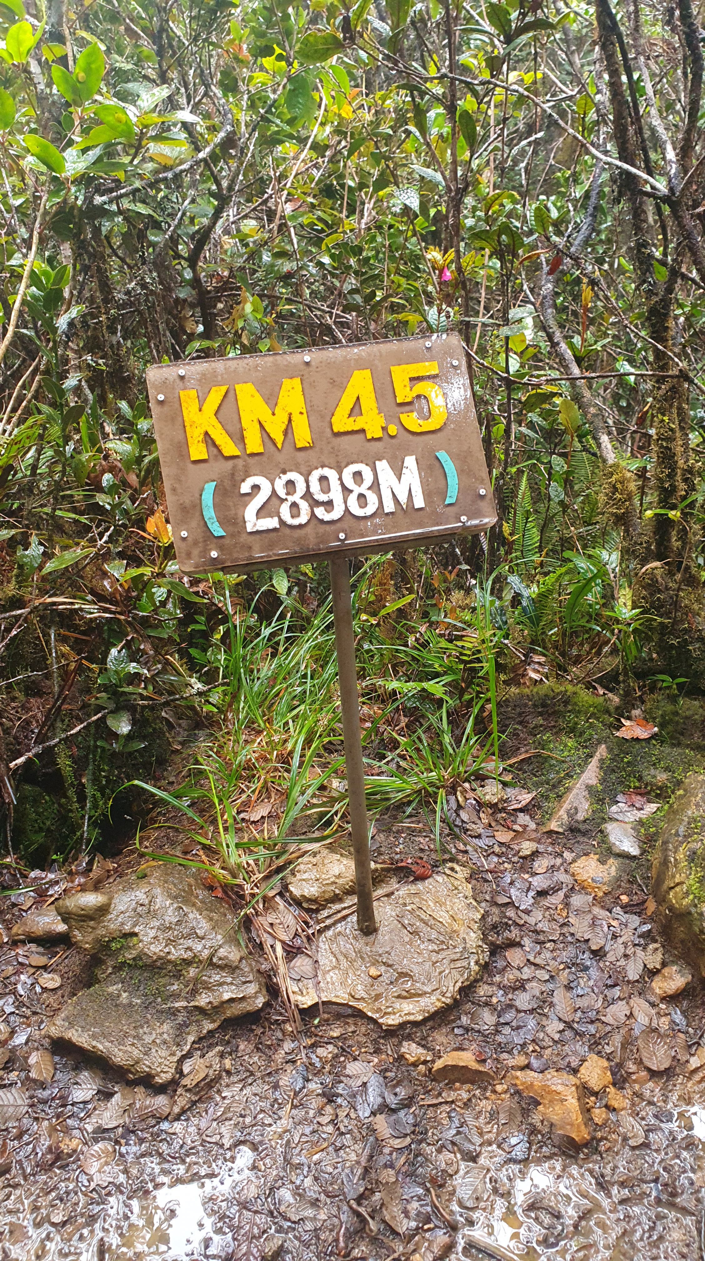
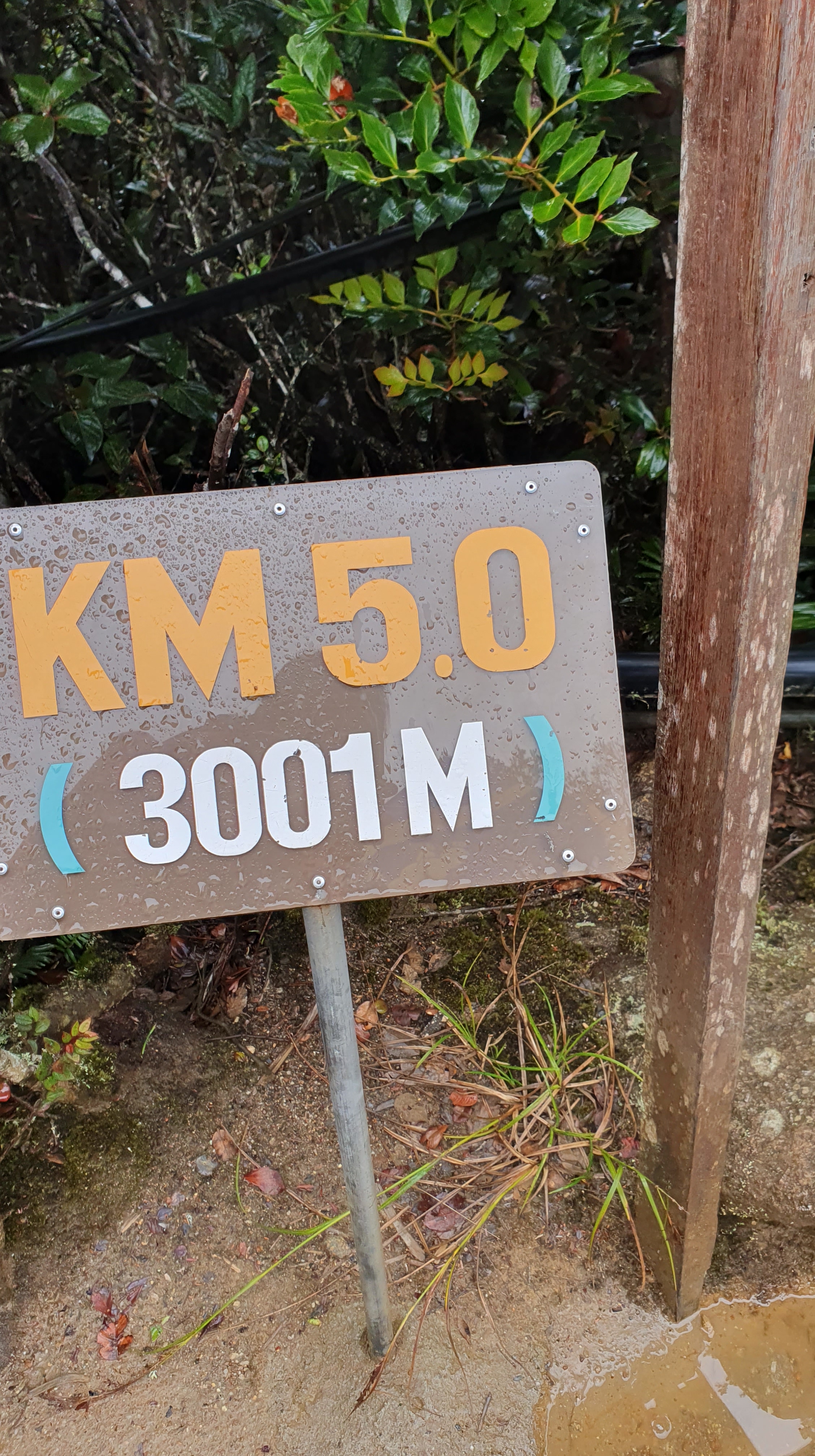
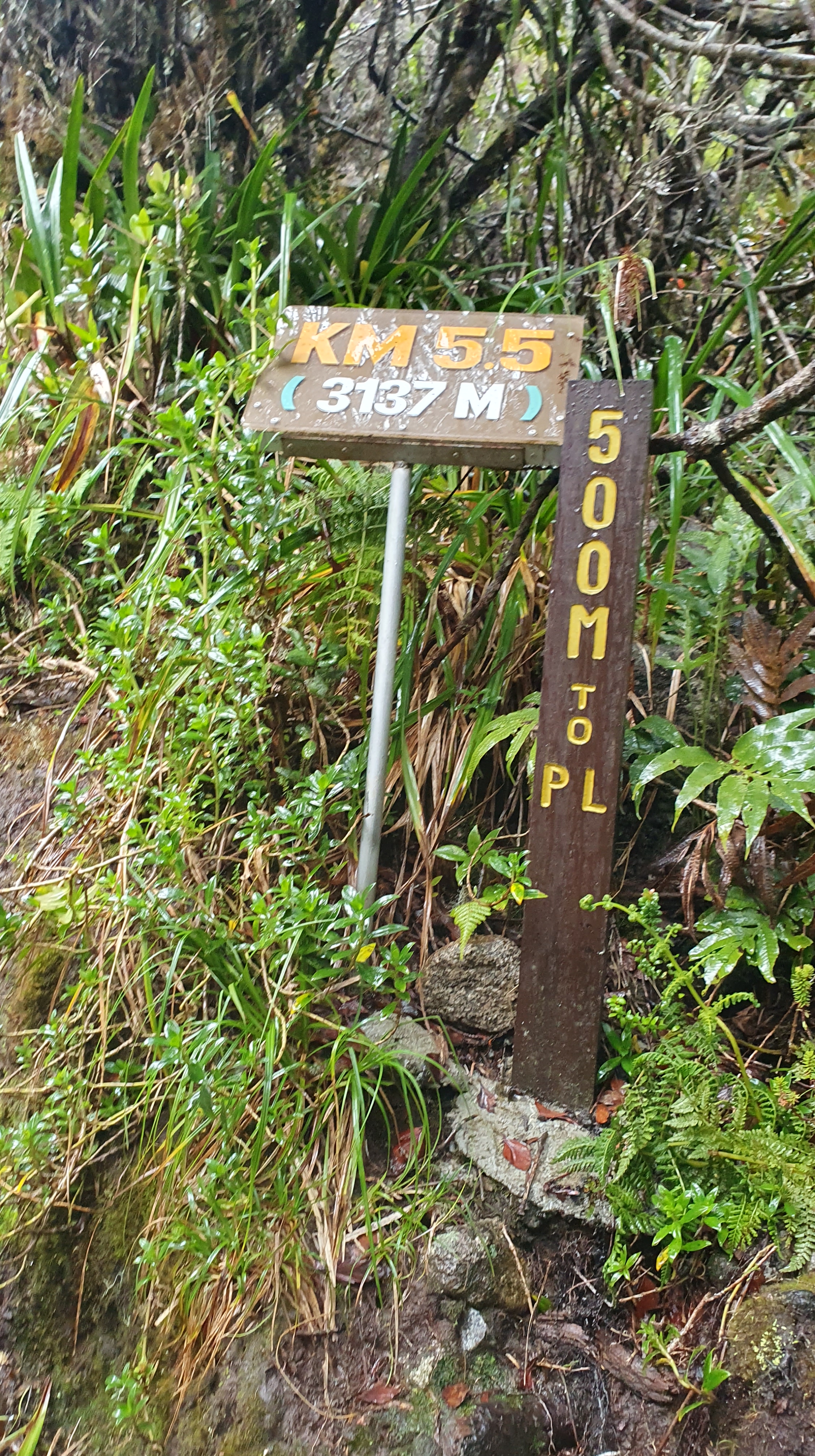
Overall, I reached Panalaban Rest Camp after approximately 6 hours of hiking, the place markers were regular and acted as motivational prompts along the way.
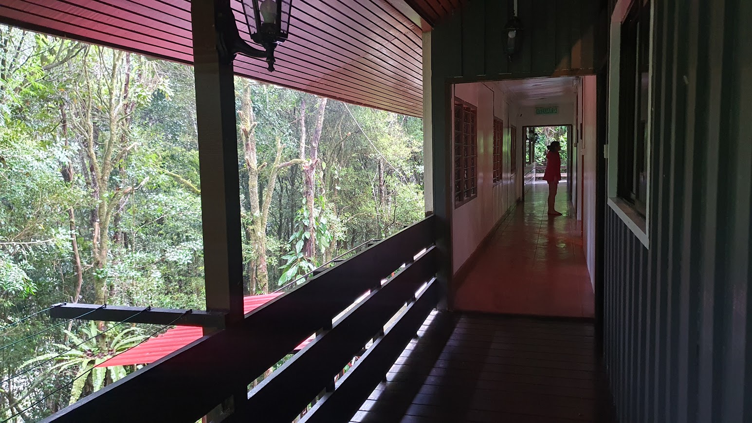
Panalaban Rest Camp had a enthusiastic and fun energy with different hikers and nationalities. I had a private guide but had started the hike with an Australian couple, Victoria and Matt, and two Danish girls backpacking. We sat in the main communal area with dinner together. There’s a sense of anticipation at Panalaban. Many climbers arrive late afternoon, weary, carrying the day’s weight of trail, but also excited for the final push. The summit attempt begins pre‑dawn and with a early dinner, I realised I had little to no appetite, anything I did try created a rising feeling, like wanting to be sick with each mouthful.
In the early evening, I sent an offline message to Alex, I had one of the most painful headaches I’d ever had in my life. Lying down, sitting still, or standing did nothing to alleviate the pain. I retired to the bunkroom and closed my eyes, curling under a fleece blanket in a cold bunk, trying to will the pain away before the 2 a.m. summit call.

Day – 2 Summit Day!
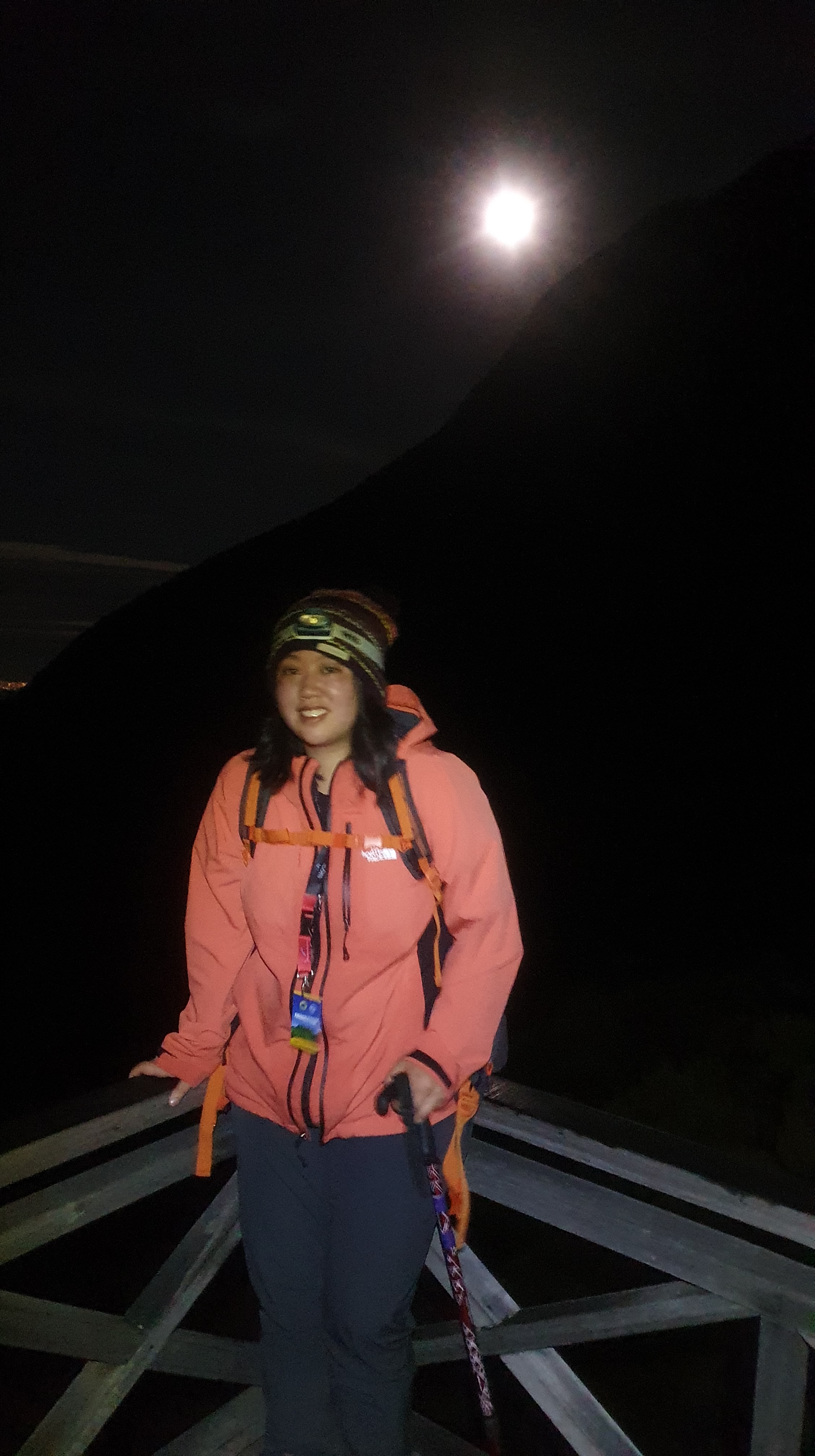
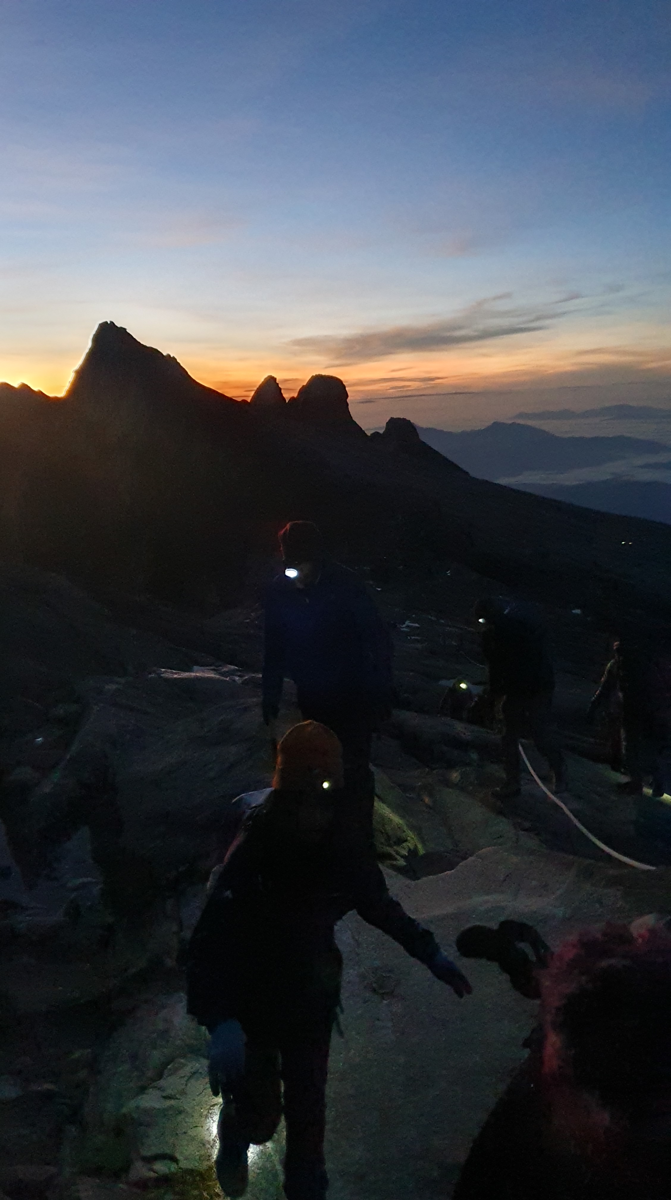
I started the hike at 2:00am with my guide, I kept telling myself I felt better and continued the hike slowly guided by moonlight and headtorch.
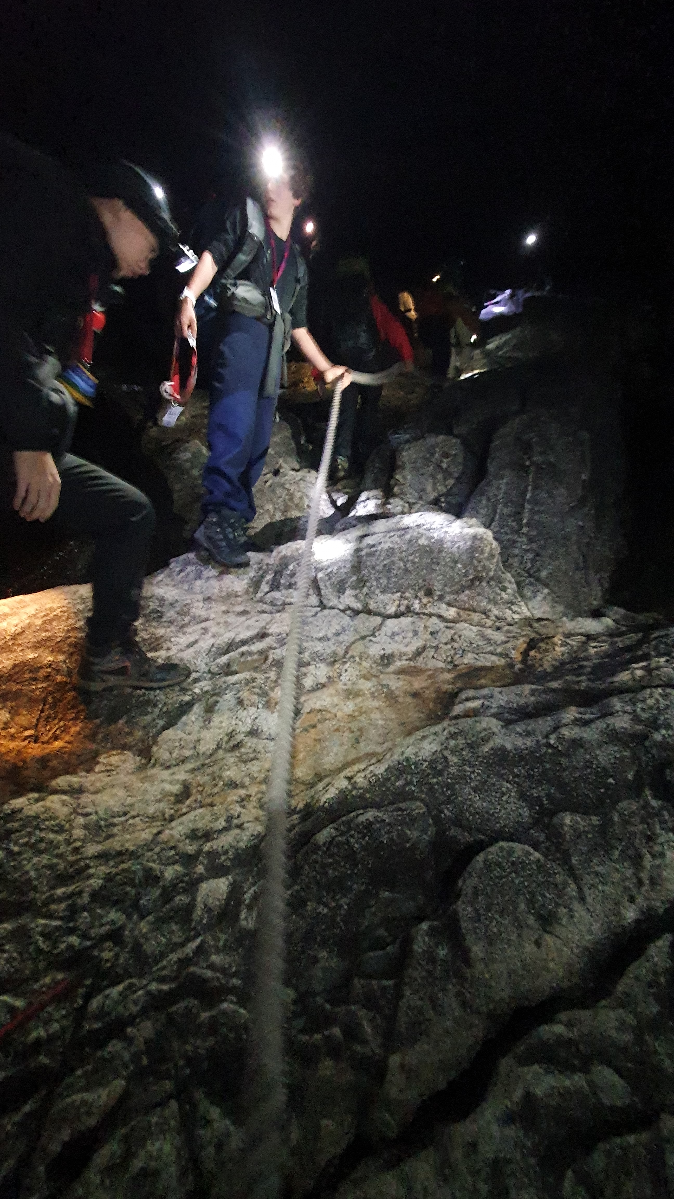
Panalaban Rest Camp was at 3,272m and the summit was at 4,095m, it was hard to believe that 1.5 days ago I was at Kota Kinabalu at 0m. At over 3,200m, oxygen levels drop from 21% at sea level to 13.7% and I realised I displayed every symptom of altitude sickness, from shaking hands, to a splitting headache to a lack of appetite. All I kept telling myself was the target was there, it was a whisper away at under 800m to reach the summit. I stayed with that thought and reached the summit at 06:30am at sunrise.
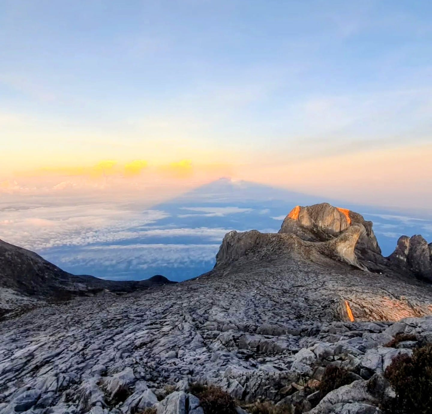
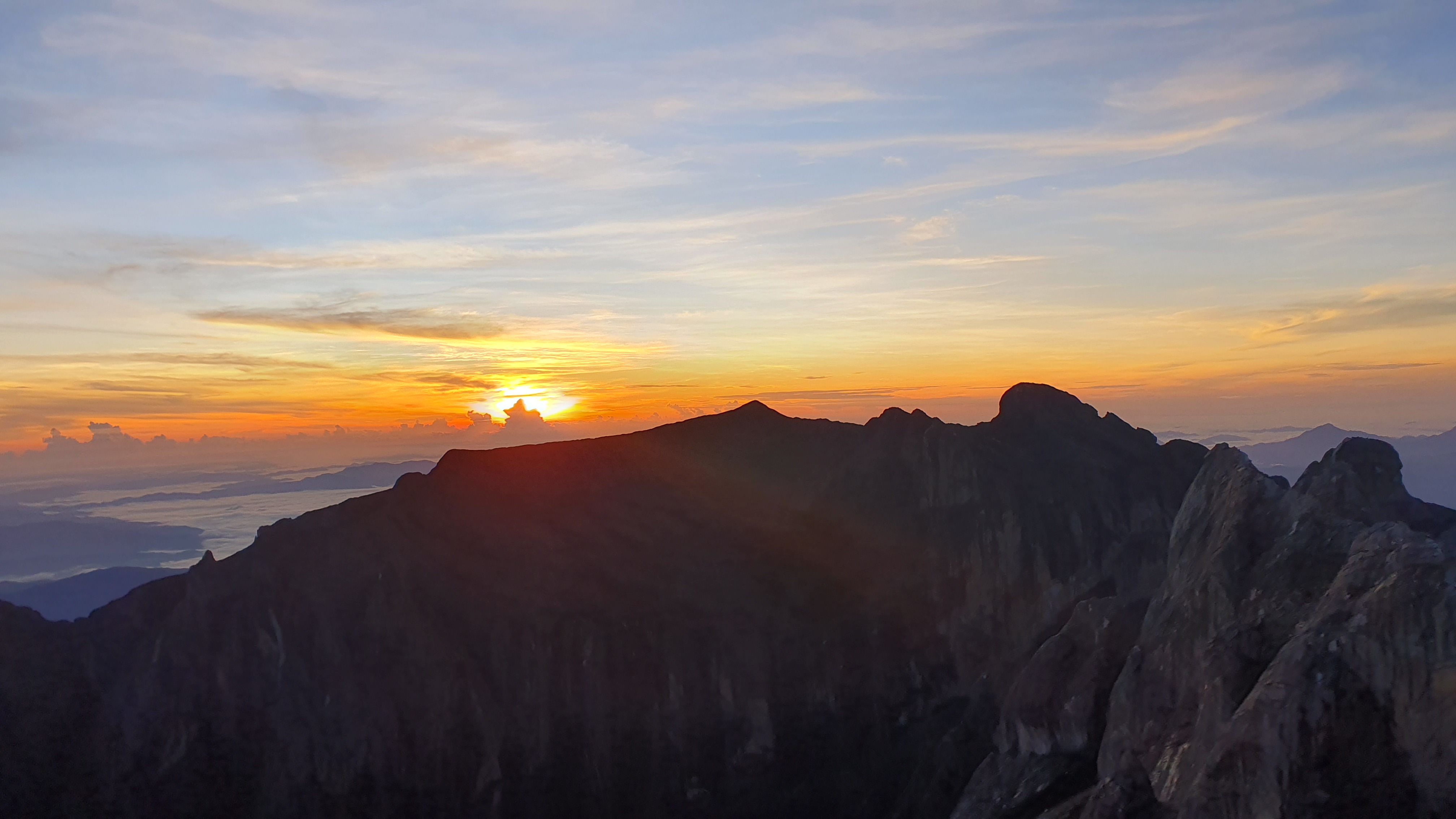

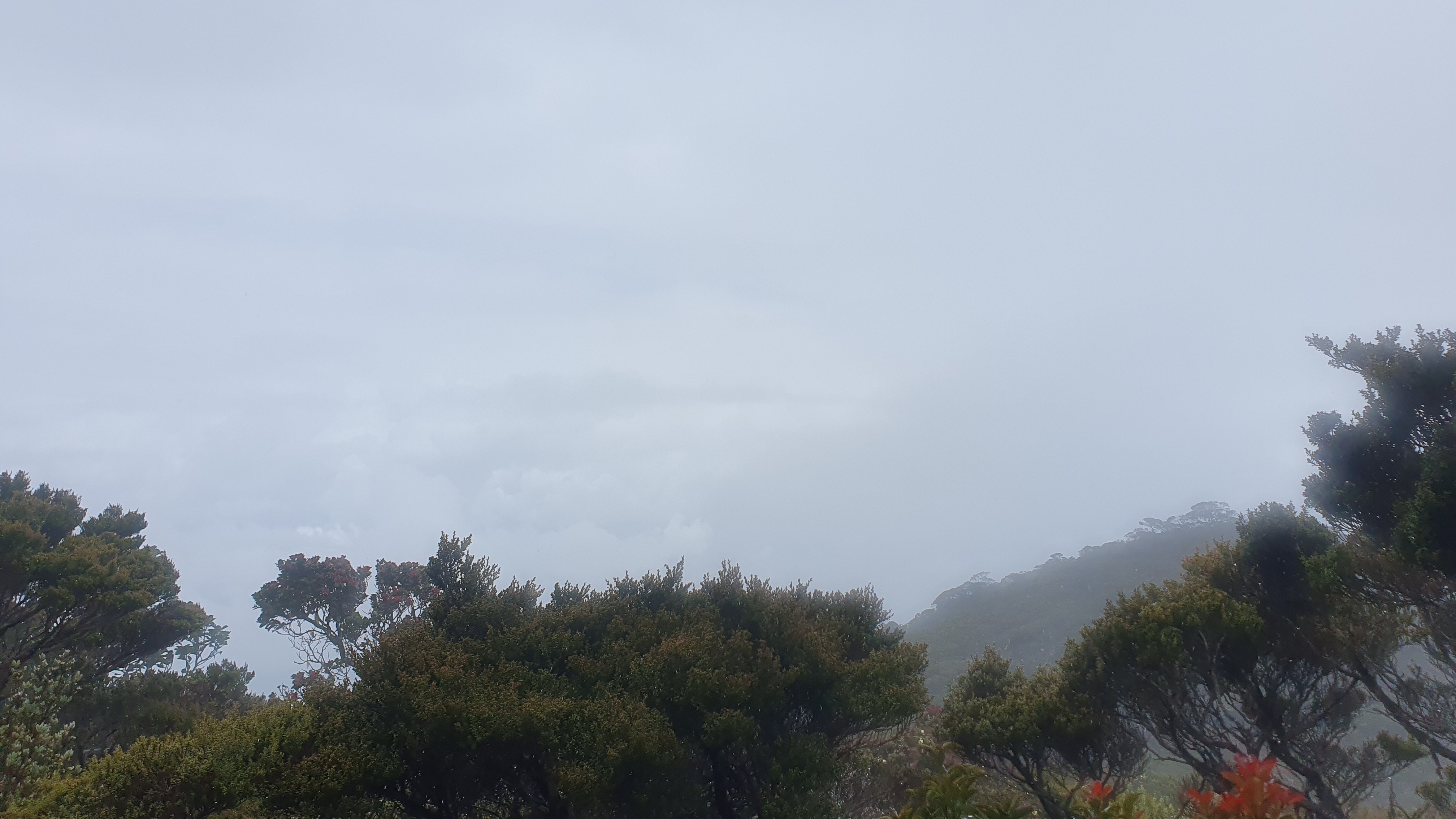
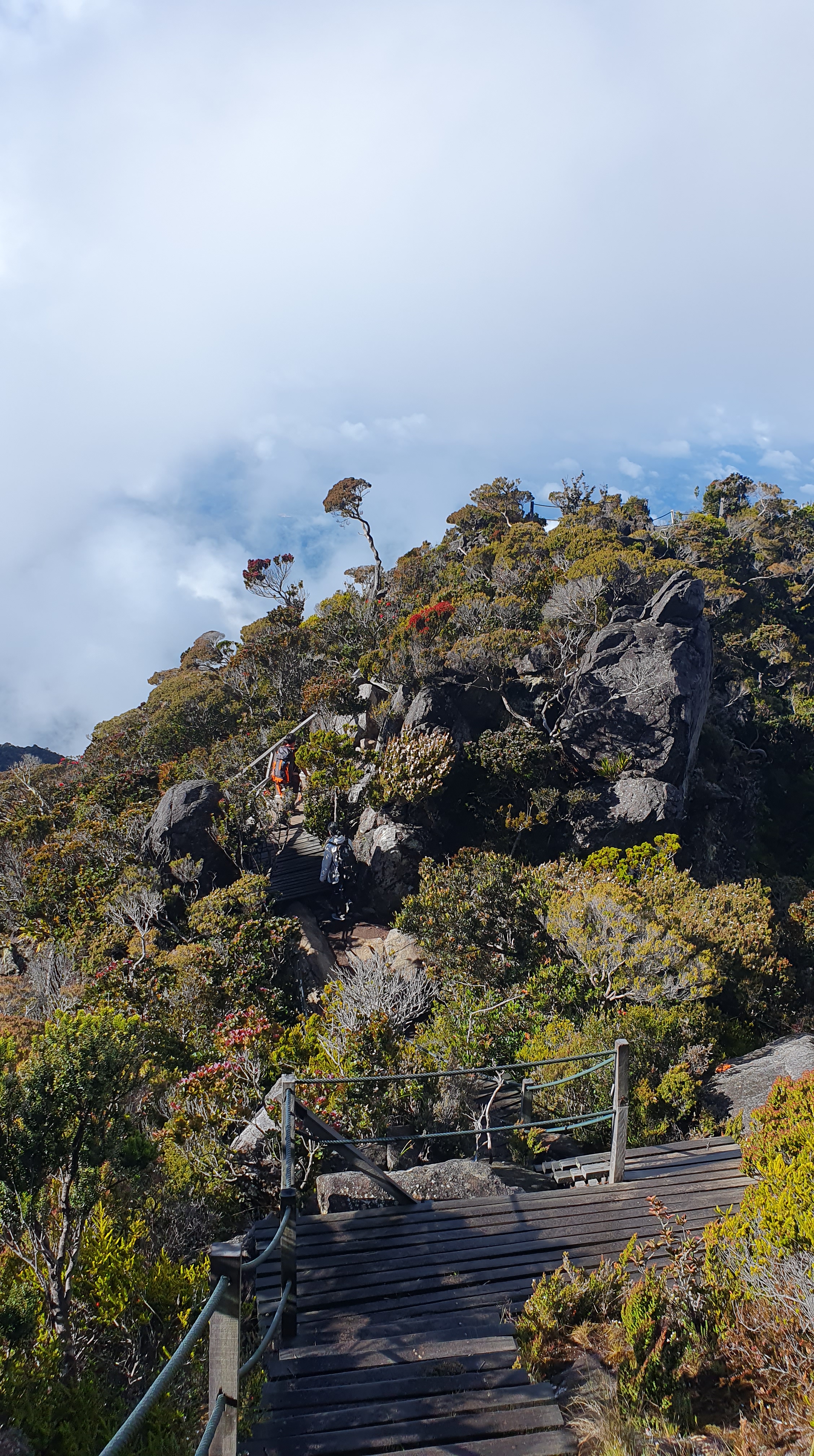
From the summit, it was a 6 to 7 hour descent back down to Kota Kinabalu Park at 1,866m. I descended down from the alpine zone where the world is stripped to stone, sky, and silence. Only the toughest mosses and low-lying plants endure here. As we proceeded lower stunted rhododendrons and wild pitcher plants cling to rocky soil. We eventually reach montane forest — where moss coats the bark like green velvet, and cloud mist clings to the branches. I was back at Timpohon Gate in the afternoon around 3:00pm, back for the transfer back to Kota Kinabalu.
Trip Tips
- Mt Kinabalu is known locally as Gunung Kinabalu. The summit is called Low’s Peak. My trip was booked through Amazingborneo.com, the total cost was approximately 3,090 MYR / £500 for a solo traveller.
- The mountain is within Kinabalu Park and established in 1964 A UNESCO World Heritage Site since 2000.
- Only 163 climbers per day are allowed. You must book via Sabah Parks or a licensed tour operator — permit, guide, accommodation, and meals are mandatory.
- Mount Kinabalu is not technical, but it’s a tough climb — 2 days of steep, sustained ascent and descent. I developed pretty bad AMS (acute mountain sickness), I’d highly recommend having the night in the Kinabalu Park area to help your body adjust to altitude before hiking. Objectively departing Kota Kinabalu is 0m, Kinabalu Park is 1,585m, the next morning you hike to 3,272m, set off at 2am to get to 4,095m and descend down the same day. It is from 0m to 4,095m in under 48 hours!
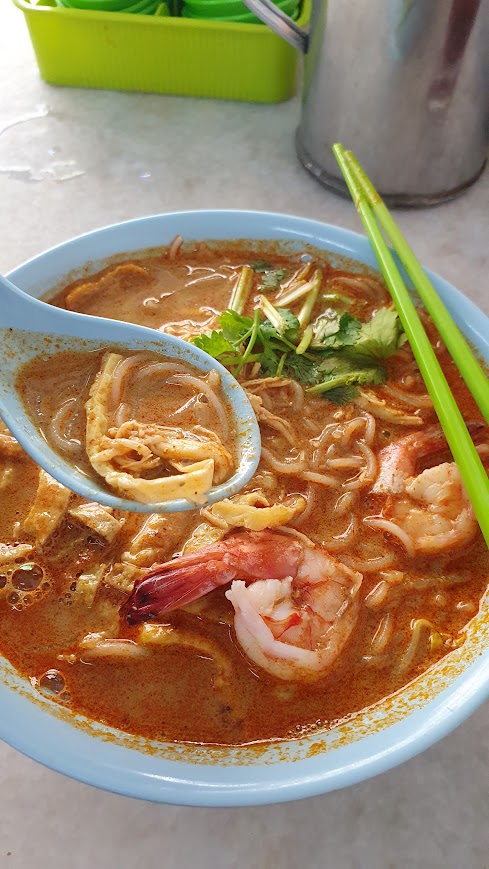
- Get a laksa in Kota Kinabalu at Yee Fung Laksa in China Town after, delicious
- If you have any questions, drop me a comment here, I will be happy to help